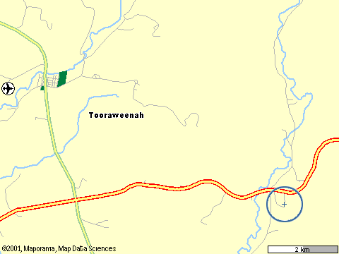
Kirriwa is in the bottom right corner of the map (where the blue target is). Tooraweenah is the town in the upper left corner. The main road running past Kirriwa is the Newell Highway. It's about 5km from Kirriwa to the crossroad, and about 3km from the crossroad to Tooraweenah.
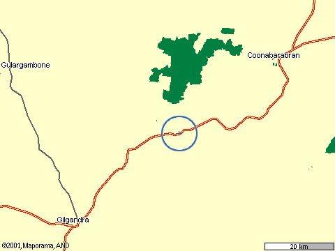
This map shows Kirriwa in relation to the two larger towns nearby, Gilgandra and Coonabarabran. Kirriwa is about 50km from Gilgandra and about 45km from Coonabarabran.
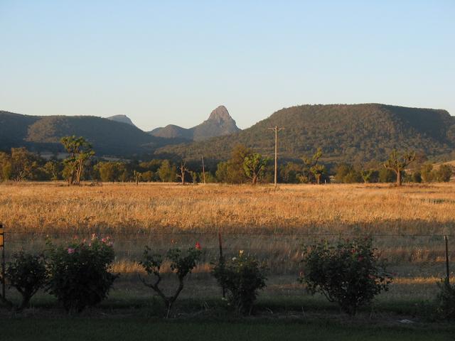
The large green patch is the Warrumbungle National Park. You can see the Warrumbungles from the house at Kirriwa. There are more photos taken around Kirriwa here and here, and more photos of the Warrumbungles here.
Siding Spring Observatory is almost directly north of Kirriwa on the other side of the National Park.
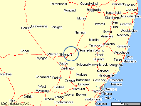
This one's for those who still have no idea where Tooraweenah is. Here it's shown relative to Sydney, which is at the bottom right of the map. It's about 350km in a straight line from Kirriwa to Sydney, and about 450km by road.
The blue bit at the right of the map is the Pacific Ocean.